Overview
QGIS Cartography Masterclass is a comprehensive course designed to refine your skills in spatial mapping, geospatial analysis, and predictive cartography. This programme combines modern QGIS Cartography Masterclass course techniques with advanced tools like ArcGIS, Python, and Leaflet to empower learners with sophisticated mapping capabilities. Through a structured curriculum, participants explore topics from remote sensing to geology, archaeology, and innovative data visualisation, ensuring a holistic approach to geospatial science.
Course Description
Transform your mapping projects into visually compelling stories with the QGIS Cartography Masterclass course. Beginning with essential QGIS skills, this course guides you through creating precise, informative maps, progressing to complex spatial analysis using ArcGIS. By integrating remote sensing and predictive mapping techniques, learners can explore patterns, trends, and anomalies within environmental and urban datasets efficiently.
The programme introduces Python-based predictive modelling and interactive mapping via Leaflet, equipping students to analyse water levels, geological formations, and archaeological sites. Additionally, modules on creative thinking and innovation encourage imaginative approaches, enabling learners to present geospatial data in engaging, accessible formats. By leveraging the QGIS Cartography Masterclass course, professionals and enthusiasts alike can produce maps that are both technically accurate and visually striking.
Further, the course emphasises web scraping for mapping applications, integrating machine learning for predictive insights, and applying spatial analysis for real-world challenges. Whether for urban planning, environmental monitoring, or archaeological research, participants emerge capable of translating complex data into actionable, visually coherent maps. The QGIS Cartography Masterclass course ensures a blend of analytical rigor and creative expression, making GIS not just a tool, but a dynamic instrument for decision-making and exploration.
Course List in this Bundle
- âž½ Course 01: QGIS Cartography Masterclass
- âž½ Course 02: ArcGIS for Spatial Analysis
- âž½ Course 03: ArcGIS for Remote Sensing
- âž½ Course 04: Machine Learning for Predictive Maps in Python and Leaflet
- âž½ Course 05: Archaeology Course
- âž½ Course 06: Web Scraping and Mapping Dam Levels in Python and Leaflet Level 4
- âž½ Course 07: Geology Course – Online & CPD Accredited
- âž½ Course 08: Creative Thinking and Innovation
Learning Outcome
- Construct accurate, interactive maps using QGIS and ArcGIS.
- Apply remote sensing and geospatial analytics to real-world datasets.
- Develop predictive models using Python and Leaflet for environmental mapping.
- Integrate archaeological, geological, and water-level data into meaningful visualisations.
- Employ creative and innovative strategies for presenting complex spatial information.
Certificate of Achievement
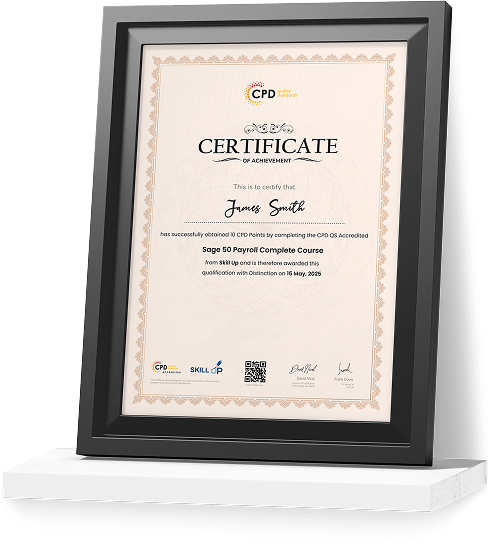
Earn Your Accredited Certificate with Transcript
Save 20% with the coupon code SKILL20
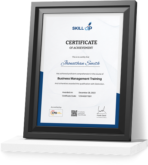
Show Your Certified Identity with a CPD-QS Certificate
Perfect for employers, clients, or academic verification.
Who Is This Course For?
- Professionals in geospatial sciences seeking advanced mapping techniques.
- Environmental and urban planners aiming to visualise complex datasets.
- Archaeology and geology enthusiasts interested in spatial data interpretation.
- Data analysts looking to incorporate predictive models in GIS workflows.
- Developers and tech innovators working on interactive mapping applications.
Career Path
- GIS Analyst: Analyse spatial data and generate actionable insights. Average salary: £42,000–£50,000/year.
- Cartographer: Design and produce detailed maps for academic or professional use. Average salary: £40,000–£48,000/year.
- Remote Sensing Specialist: Interpret satellite and aerial imagery for environmental or urban planning. Average salary: £45,000–£55,000/year.
- Geospatial Data Scientist: Apply data science techniques to spatial datasets for predictive modelling. Average salary: £50,000–£62,000/year.
- Urban Planning Consultant: Utilise GIS tools to plan sustainable city and regional projects. Average salary: £44,000–£53,000/year.
Frequently Asked Questions
The course spans multiple modules and is designed for flexible online learning, allowing participants to progress at their own pace.
No prior experience is required; however, familiarity with basic mapping concepts may help accelerate learning.
Yes, learners receive a CPD-accredited certificate upon completing the QGIS Cartography Masterclass course, validating your skills in GIS and spatial analysis.
The programme covers QGIS, ArcGIS, Python, and Leaflet, ensuring comprehensive exposure to modern GIS technologies.
Absolutely. Roles like GIS Analyst, Cartographer, and Geospatial Data Scientist are in demand, with salaries averaging over £40K/year.
GIS Mastery: QGIS Cartography Masterclass – CPD Accredited Reviews
Excellent
98%
Would Recommend98
Certified Learners100%
Authentic Reviews
A well-organised and highly valuable course with clear, easy-to-understand guidance throughout. I’ve gained knowledge that’s directly relevant to my day-to-day responsibilities. It’s given me greater confidence in applying these skills professionally.
Engaging content delivered in a straightforward and structured format. The examples were realistic and helped reinforce key concepts effectively. I would certainly recommend it to colleagues looking to upskill
Comprehensive, insightful and professionally presented from start to finish. The course materials were clear and well supported. A worthwhile investment for anyone serious about career development
Curriculum
Offer Ends in
14-Day Money-Back Guarantee
-
Duration:Self-paced Learning
-
Access:1 Year

12 Reviews