Cart
No products in the basket.
Log In Sign Up

Login

Land Surveying

Get 92% Discount | CPD Accredited | Affordable Pricing | No Hidden Charges | 24/7 Tutor Support | Instant Access
5
22 Reviews

stds238 Students

Accreditation Icon
Accreditation Icon

Overview

Land Surveying explores the measurement, mapping, and legal definition of land. This Land Surveying course introduces spatial data concepts, surveying tools, mapping approaches, boundary control, and safety awareness. Therefore, it supports accurate land assessment, compliant site planning, and informed decision-making across construction and infrastructure contexts.

Course Description

From the first measured line to the final plotted boundary, this Land Surveying programme presents a structured pathway into spatial measurement and land evaluation. Moreover, the land surveying course blends theoretical clarity with procedural awareness, therefore allowing learners to follow how land is defined, recorded, and protected. Through a land surveying course online, concepts progress logically, ensuring clarity while reinforcing professional relevance.

Furthermore, this land surveying course online UK focuses on instruments, techniques, and mapping standards used across the UK. Consequently, learners explore how data collection supports planning, development, and environmental management. While studying land surveying courses UK, participants see how topographic detail, boundary evidence, and safety protocols interconnect, thereby supporting reliable outcomes within regulated frameworks.

Additionally, the basic land surveying course emphasises consistency, accuracy, and responsibility. As a result, online land surveying courses clarify how surveying methods respond to real-world constraints, legal expectations, and health obligations. Hence, the land surveying course online UK equips learners with sector-aligned knowledge, while online land surveying courses encourage confidence, progression, and analytical thinking across surveying roles.

Learning Outcome

Who Is This Course For?

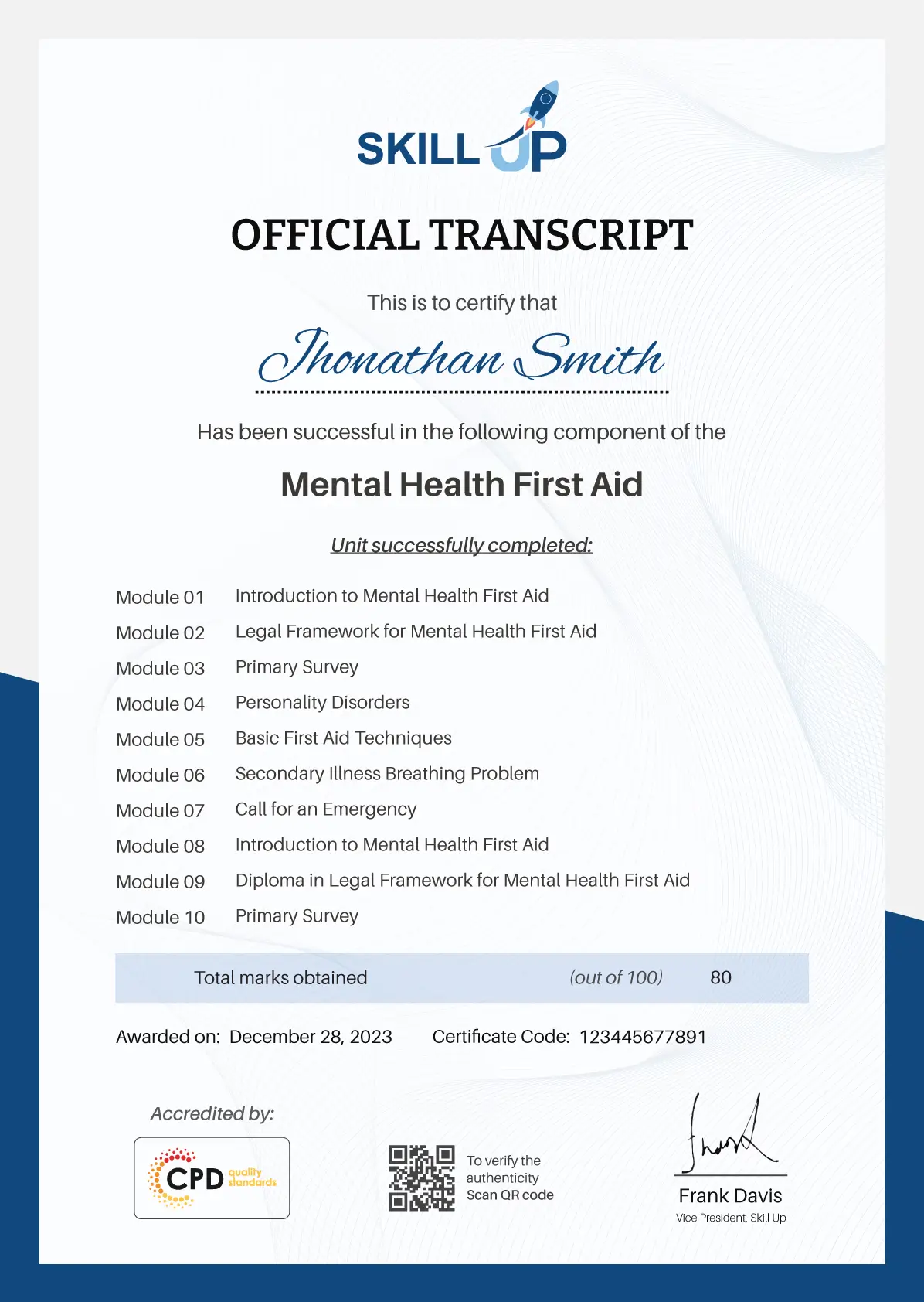
Certificate of Achievement

Earn Your Accredited Certificate with Transcript

Save 20% with the coupon code SKILL20

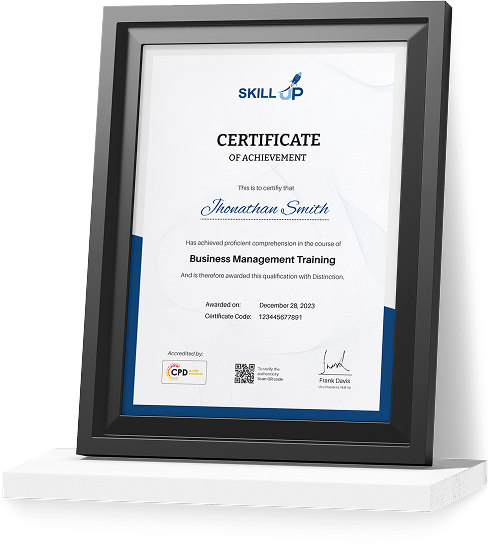
Show Your Certified Identity with a CPD-QS Certificate

Perfect for employers, clients, or academic verification.

Career Path

Frequently Asked Questions

Land surveying is the professional process of measuring and mapping land, including boundaries, elevations and features, to create accurate records or plans. It’s essential for confirming property limits, supporting construction planning, resolving boundary disputes, and complying with planning requirements — especially when buying, selling or developing land.

There are many types of surveys depending on your needs, including:

– Boundary surveys (to define property limits)

– Topographic surveys (showing land contours and features)

– Measured building surveys (detailed building measurements)

– Construction surveys (for setting out buildings exactly as designed)

– Drone or aerial surveys (fast, detailed 3D data capture)

Each type serves a different purpose — from planning applications to construction and dispute prevention.

Modern surveying increasingly uses advanced tools like drones, 3D laser scanning and GPS equipment to gather highly accurate data quickly and safely — even over hard-to-access areas. Emerging AI tools help process and interpret large datasets more efficiently, improving precision and reducing time for mapping, feature extraction and quality control. These technologies enhance both speed and accuracy compared to traditional methods.

Yes. Most UK planning applications require an accurate topographic land survey to show existing site levels, boundaries, access points, trees, and nearby structures. Local councils and architects rely on this data to assess planning proposals and avoid design errors.

A land survey focuses on measuring land boundaries, levels, and physical features, while a property survey (such as a HomeBuyer Report) assesses the condition and value of a building. Land surveys are typically used for planning, construction, and legal clarity rather than valuation.

Land Surveying Reviews

Excellent

5 / 5
Based on 22 reviews

98%

Would Recommend

238

Certified Learners

100%

Authentic Reviews

A well-organised and highly valuable course with clear, easy-to-understand guidance throughout. I’ve gained knowledge that’s directly relevant to my day-to-day responsibilities. It’s given me greater confidence in applying these skills professionally.

Engaging content delivered in a straightforward and structured format. The examples were realistic and helped reinforce key concepts effectively. I would certainly recommend it to colleagues looking to upskill

Comprehensive, insightful and professionally presented from start to finish. The course materials were clear and well supported. A worthwhile investment for anyone serious about career development

Curriculum

  • play Introduction to Land Surveying
    play 00:24:00
top